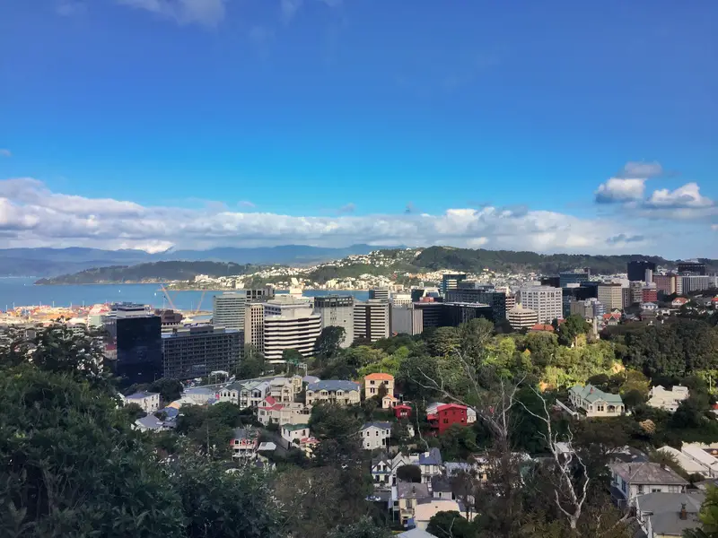
Wellington’s 16km Northern Walkway takes you through four of the cities beautiful green spaces. The Botanical Gardens, Tinakori Hill, and Mount Kaukau, and Trelissick Park with the first three offering views of the CBD and harbour. The rest of the trail takes you through small sections of Wadestown, Ngaio, and Khandallah.
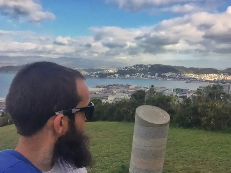
Awkward Selfie alert (from Tinakori Hill).
This post will cover:
- My notes & observations from the Northern Walkway (south to north)
- A Northern Walkway FAQ
- A bunch of photos
My Experience On Wellington’s Northern Walkway
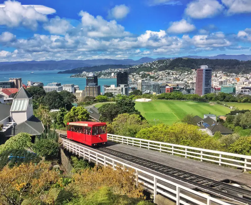
The starting point walking from north to south is from here at the top of the cable car.
The signs you need to follow on this track are blue, and much like the City to Sea Walkway, they’re easy to follow.
I walked in the south to north direction, starting from the Cable Car Museum. The first part takes you through Botanical Gardens to The Lady Norwood Rose Garden. It’s an easy start to the walk, all downhill with two thirds of that in shaded areas. Make the most of the downhill start, you’ll be going uphill before you know it.
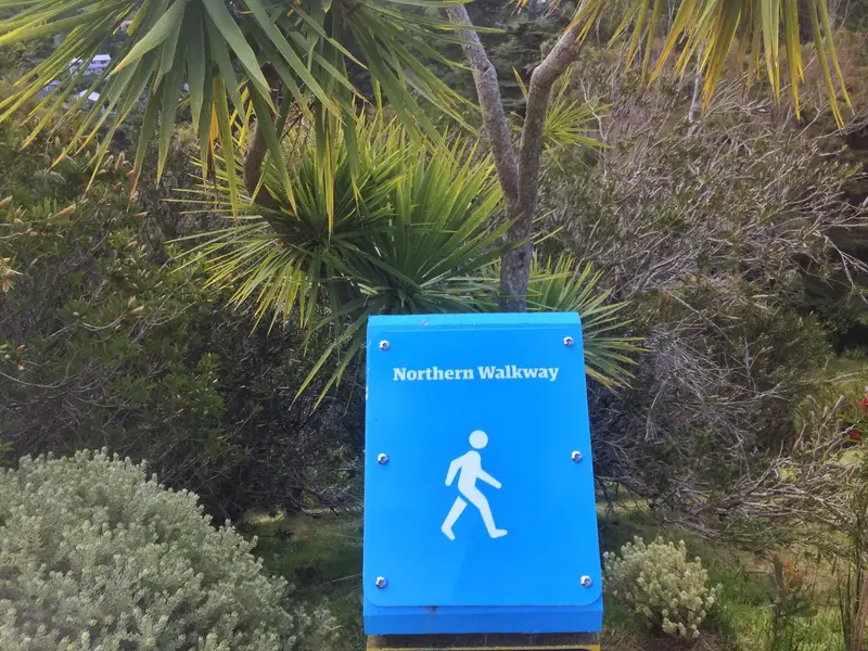
They’ve made sure you can’t get lost by following the blue signs
The climb starts on St Mary Road when you exit the gardens and cross over Tinakori Road to Tinakori Hill. For the next three kilometres you’re walking through the heart of the park, with the track simple to follow (you’re sharing the track with mountain bikes). The views to the east over the CBD skyline come and go between the bare trunks, though there was one point towards the northern end of the park where there are some benches with clear views. That’s a good spot to take a short break. There’s a decent amount of incline, but everyone should be capable as long as there hasn’t been to much recent rain.
Peaking through the trees
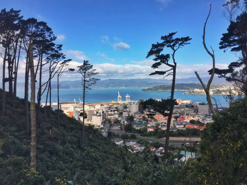
From somewhere along Tinakori Hill
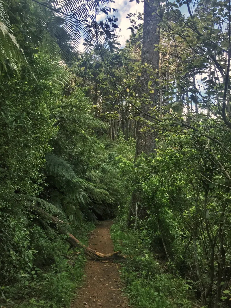
Yeap, still in Tinakori Hill
Exiting at the NW corner of the Tinakori Hill, you walk through Wadestown to Trelissick Park. This is a small park, but nice all the same. The kind of spot you’d love to have down the road if you lived there.
You’ll come out of the park on one of the bigger roads that takes you through
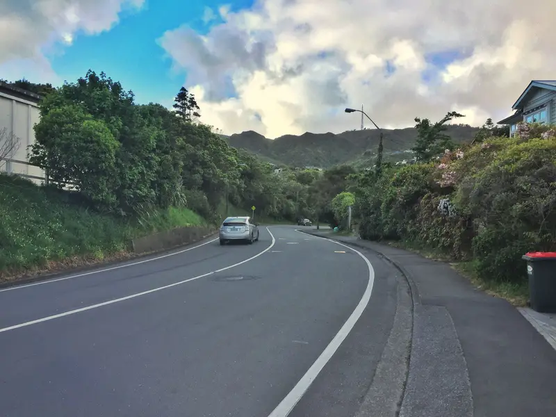
The Northern Walkway turns left behind the library for a short section on quieter streets before you reach Khandallah Road. From here it’s a walk to Simla Crescent which takes you to the entrance of Mount Kaukau.
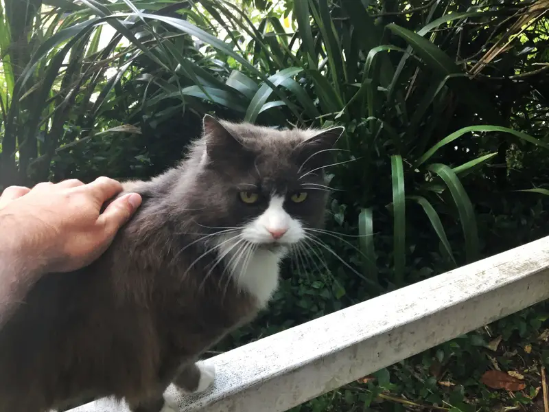
A friendly feline spotted near Trelissick Park
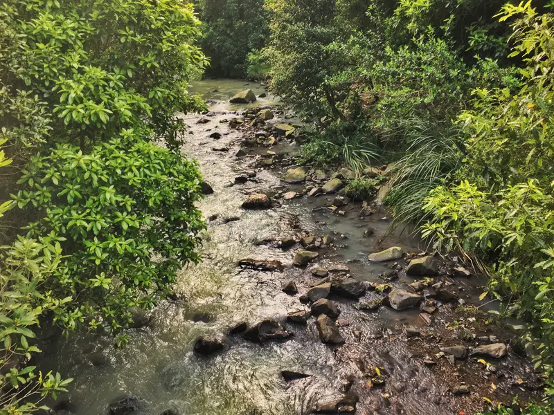
The stream running through Trelissick Park
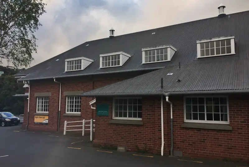
Ngaio Townhall
Walking through Ngaio, like a boss
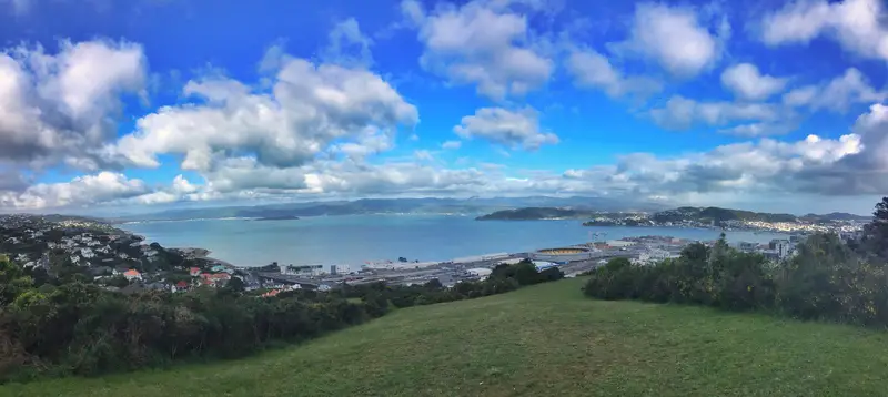
Mount Kaukau is one of the higher peaks in Wellington with 360-degree views. The Simla Crescent entrance to the summit doesn’t muck around as you’ll be ascending most of the way to the summit. The bonus? You’ll be in the shade most of the way. The ascent could take you anywhere from 25 minutes to an hour, but there’s no rush as it’s the last incline.
At the summit you’ve got awesome views in all directions. Take it all in, as you’re on the closing stretches now (that felt cheesy to type).
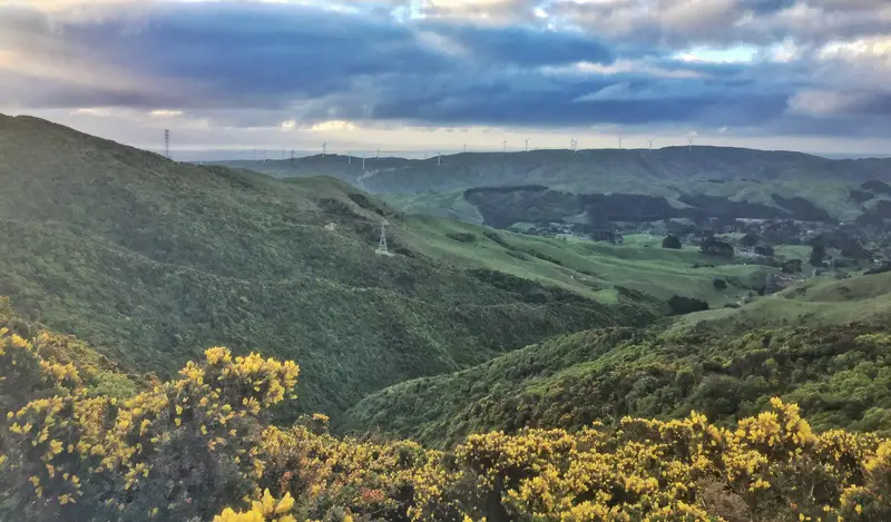
The track down is a slow descent to Truscott Ave which did drag on a bit though you can’t argue with the views. I never knew there were so many windmill power sources in Wellington (look west from the summit and you’ll see them).
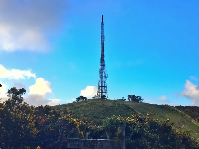
Come at me Mount Kaukau (you can see the TV tower from the CBD)
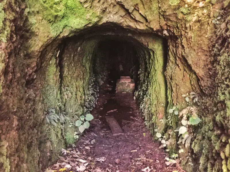
Found this cave like thing quite close to Truscott Ave. So many questions…didn’t brave it going in
NZ, you so beautiful
Once on Truscott Ave, follow the street until you come to the first bus stop which is for the #1 bus which can take you back to Wellington. Or, you could walk all the way along the avenue until you hit the Johnsonville Shopping Center (yay, food). You can then catch the bus or train into the city from there.
The walk took me three hours from departing the Cable Car Museum to arriving on Truscott Ave.
Northern Walkway FAQ etc.
From a lookout on Tinakori Hill
How do I get to the Northern Walkway trailhead?
You can do the walk in either direction. North to south starting from the Truscott Avenue in Johnsonville or south to north starting at the top of the cable car in Kelburn.
How to get to Truscott Avenue: There’s parking space at the end of the road, but it’s going to be inconvenient to get back to the car as it’s not a loop walk. I’ll assume you’re coming from the Wellington CBD, in which case you want to catch the #1 bus which will take you to Truscott Ave at Elliot St (here). Then it’s only 200 metres to the track entrance that’s shared with the Skyline Walkway.
Here is the #1 Bus timetable. Adult fares without a Snapper Card are $5.
How to get to the top of the Cable Car: Take the cable car of course! It’s one of the most popular things to do in Wellington afterall and you can kill see two birds attractions with one stone trip. (timetable and prices here)
You can walk up to the top of the cable car if you please. There’s limited parking at the top of the track, but it’ll be a pain getting back to your car again after the walk so the cable car is best.
Are dogs &/or bikes allowed on the track?
Dogs are allowed but must be on a leash unless it’s a designated dog play area. You might come across some mountain bikers, particularly on the weekend.
Is there a track map available?
I didn’t use a map and hadn’t been along much of the route before. The blue signposts you saw above are more than enough to keep you on track but you can find a brochure online with a rough map.
How long does it take to walk the trail?
The guide recommends 4 hours, that’s a fair amount of time if you walk at a reasonable pace and plan to take a few breaks. You could complete the track in 2.5-3 hours if you’re hustling, or you could take 5-6 hours if you spend time at a cafe, stop at the shops in Ngaio, spend time in the gardens etc.
Is the walk safe?
Safe as houses. If there’s rain in the forecast, definitely take the appropriate gear and be prepared for some gnarly downhills.
Best time of the day to walk?
This is the perfect walk to start in the early afternoon that’ll give you sunlight all the way through, and you get to see the sun over the harbour and CBD. Leave at least four hours before sunset to be on the safe side (and keep an eye on the bus timetables).
Is it worth it?
This walk was a lot nicer than I was expecting. If you’re planning to see go to the Gardens and Mount Kaukau, it’s a good way to see them both (as well as the riding on the Cable Car) then definitely. That said, Tinakori Hill is a great hidden gem in Wellington and if you like that kind of travel that’s even more reason to visit.
The reviews for this are great: 4.8/5 on Google Maps, and 4.5 on TripAdvisor.
Have fun heading up to Mt. Kaukau. As always, happy to help with any questions you may have.
MORE WELLINGTON WALKS:

Beautiful walk Jub. I love those steady inclines; and walks with cats. Cats rock.