Travelling around Sumatra was not what I expected. There are a few reasons that stand out:
- How friendly it was to travel Sumatra on a budget
- The lack of relative tourism on the island
- The epic supply of avocados (avocado on chapati? Yes please!)
- The minimal information online about certain aspects (like hiking Lake Toba!)
Those mountains/hills were just asking to be climbed
The first three are awesome for me. The last point? Frustrating at times but I secretly like some adventure and working things out on the fly.
Hiking on Lake Toba certainly was an adventure and involved a lot of winging it.
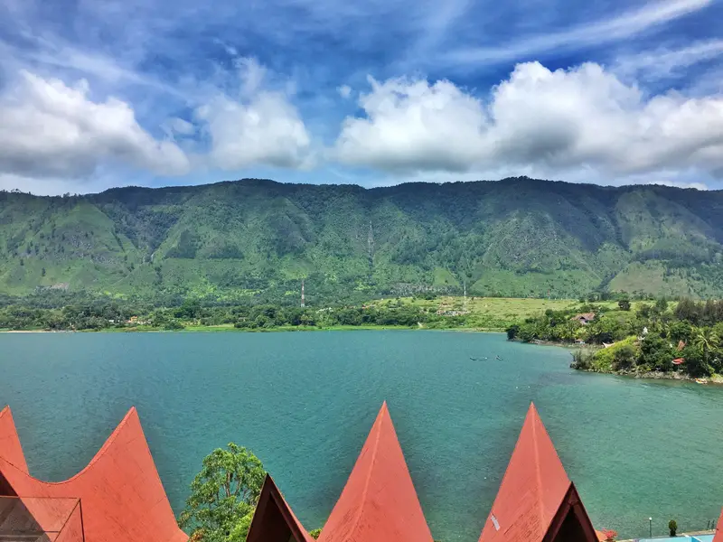
Lake Toba was the final destination of a one-month itinerary in northern Sumatra. It’s like Pai, you go there to do not a whole lot, but it’s enjoyable.
Yet, I couldn’t just hang around Tuk Tuk all day. Overlooking the islands tourist town Tuk Tuk is a steep incline to the summit of Samosir Island. There was no way I wasn’t going to try and hike up there. And to add some spice to the challenge, continue right across the rest of the island.
I mentioned the idea to a few friends, none were interested weren’t interested except for an Aussie mate who was keen for adventure.
There are few details about hikes on Lake Toba online. A couple of places say it’s possible to go straight across the island, but don’t give much info. Locals kind of said it’s possible but they don’t know anyone who has completed the trek in years. We would be relying on the trusty Maps.me app.
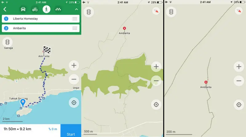
Maps.me, come through for us. Please!
On the app, there’s a trail going straight up the hill behind Tuk Tuk via Ambarita. There was a spot in the trail where it didn’t connect to the islands main overland pass for local traffic but either way, we were on a mission.
We had to set off at first light from our awesome guest house as transport at that hour of the morning is -existent. We headed left, inland from the islands main ring road as Ambarita (the BMI bank turn off) and hit trouble immediately trying to find the trail head. A local pointed us in a seemingly random direction and after 10 minutes we hadn’t found anything resembling a proper trail.
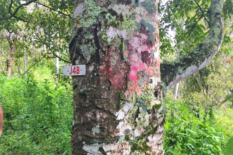
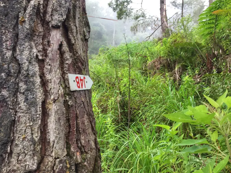
The red mark an sign, hopefully these are trail markers
We went back out and tried other entrances with zero luck. On a hunch, Aussie said he saw what could be a trail back where the local pointed us. His hunch turned up a small J4B sign and a red marking, both which we hoped were trail markings (unfortunately don’t have a photo of exactly where we entered).
We knew we were in for a mission but had all day to cover the 20+ km to Pangururan on the opposite side of the island.
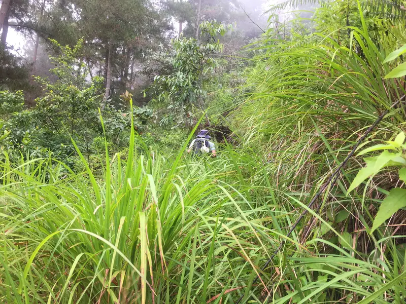
There’s a trail here somewhere?
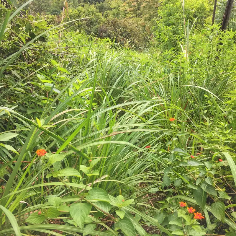
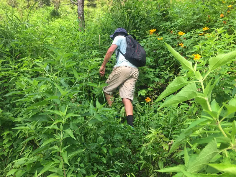
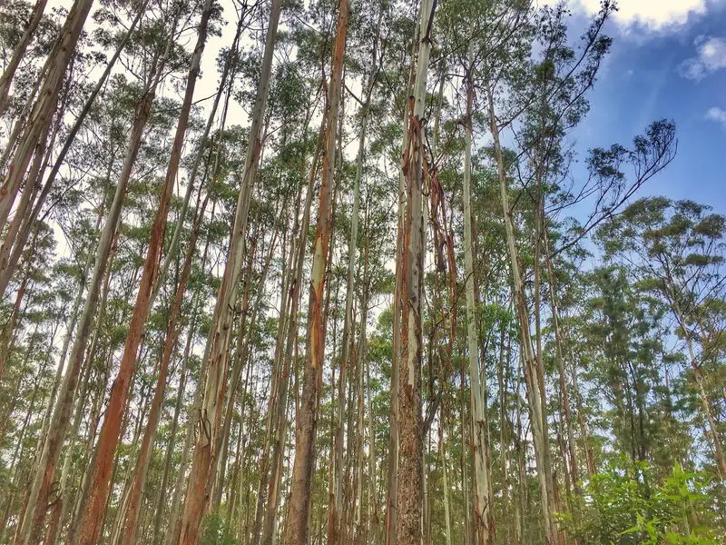
Straight away we were walking semi-blind as the trails were barely visible through the lush greenery. The steep inclines making things that little bit trickier.
We were making slow and steady progress for the first hour, our confidence growing each time we came across a red marking and/or J4B sign.
Follow the J4B sign!
We have no idea what J4B meant, but my guess is it is short for Jalan for Bukit. When I translate that into English it means I get meaning street for the mountain. Makes sense to me.
Nice view
Bad view…a few minutes later
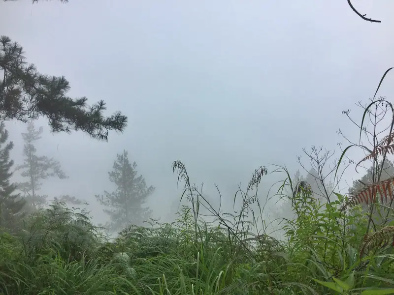
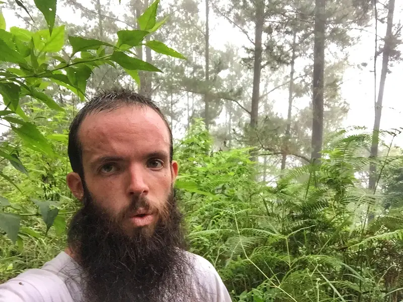
After a pleasant start to the morning I was soon putting my phone in a plastic bag as drizzle set in. Afternoon storms were a regular thing on the island, so this was unexpected. We wouldn’t be getting any spectacular views over the lake from the top of the summit. On the bright side, we weren’t sweating as much as we could have been.
Where’s Aussie?
There he is
After steep inclines, barely visible trails, rain, switchbacks and bananas we had somehow followed the maps me trail more or less perfectly to the top of the climb. Whoever plotted the trail on the app gets a big thumbs up from me.
She was still hot!
No buffalo here thank god
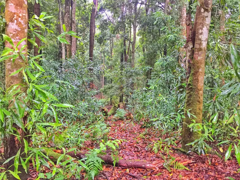
We had finished the steep incline. But that was just the first few kilometres as we walked through a section of buffalo watering holes and forests.
Sidenote: Wholly shit water buffalo are intimidating. I know they’re usually domesticated and harmless, but they’re massive and built like a brick shit house. There were none near the watering holes, for now, thankfully.
This felt like Australian for a moment!
Much better trails!
I thought we were more or less finished, but while moving at a quick pace for a few kilometers we came to a stuttered stop. We found ourselves scrambling down a hill attempting to find a sign of the trails.
It was at about this stage we realised we wouldn’t be getting to the actual Samosir Island summit. I think we walked close to it, but somehow missed it.
We started slowing down big time. This small village we were supposedly meant to find before the trail abruptly ended as per the app felt hundreds of miles away. Having scrambled down the hill we decided to cross a small creek and see if we could see anything on that side. If not, we’d call it a day and head back down the way we came.
It didn’t get easier as we were now pirouetting through thick gorse bushes. We were spat out the other side with minimal blood and made a beeline in a direction for where the main trail, in theory, was.
Made i
Made it to the fruit farm!
We struggled away but eventually came across a path that led us to a field of some kind of oranges. We’d made it to some form of civilization. I’m not going to lie, it was a little nerve wracking but given we were on an island, I would’ve hate to have given up. The rain had stopped too, bonus.
We saw a lot of this for the rest of the trails
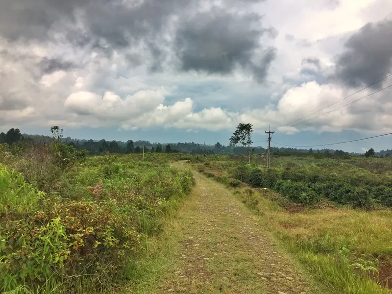
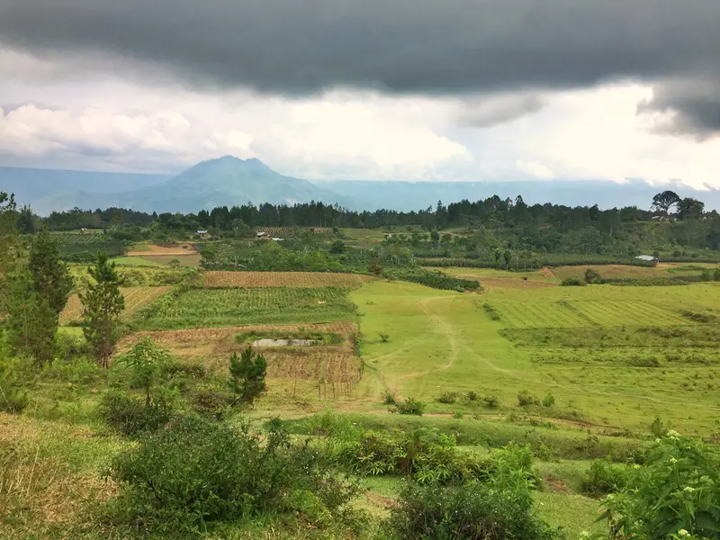
We got out onto the main gravel track that cars use (way too long and boring hiking this way from Tuk Tuk). This would be our life for the next few hours as we trekked along the gently rolling terrain past villages and farmland.
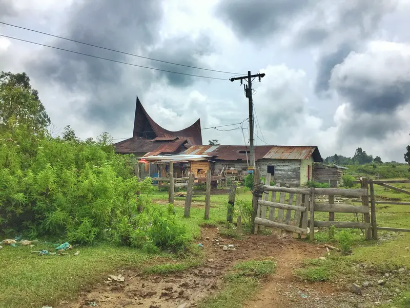
Random villages on Lake Toba with traditional Batak housing
We did take some detours with trackside water buffalo not looking happy to see us. This would have looked funny on a drone to see how far off course we were to safely pass the buffalo. Other than that, some dogs didn’t like us but didn’t get up close and personal either, thankfully. I was armed with a rock. Meow.
That was one badass storm cloud at the top there
The walk was getting boring until the next storm was here. She was nasty! We could see it coming but had nowhere to go. Eventually dripping wet, we stumbled across what appeared to be a cafe. As we entered a handful of locals were taking cover, drinking tea and coffee. This was the ultimate village cafe.
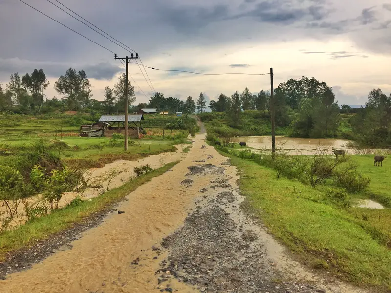
Post storm, the road was flooded. Wet shoes are the worst, right?
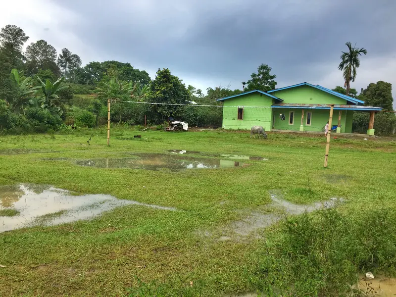
Random volleyball court out of action due to flooding
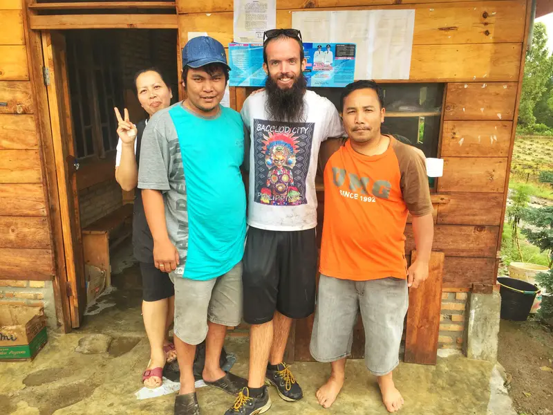
Aussie ordered us some fried rice and tea. Out of nowhere, this was one awesome fried rice. Legitimately the best I’d had in months. 90 minutes or so later, the rain eased and after a few family photos we continued on for another couple of hours, eventually hitting the other side of the island about 10 hours after we started the day.
We jumped on a public bus, and the day was complete. Our friends were impressed, to say the least as we hung out in the common areas of Liberta Homestay drinking Anchor. It was back to regular Lake Toba life for the next week.
How To Do The Hike Yourself
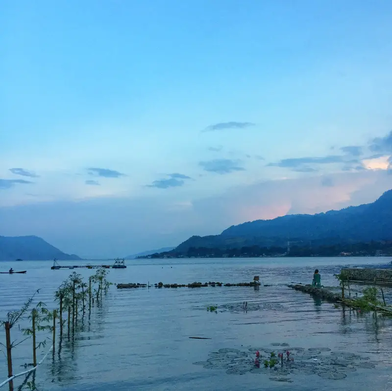
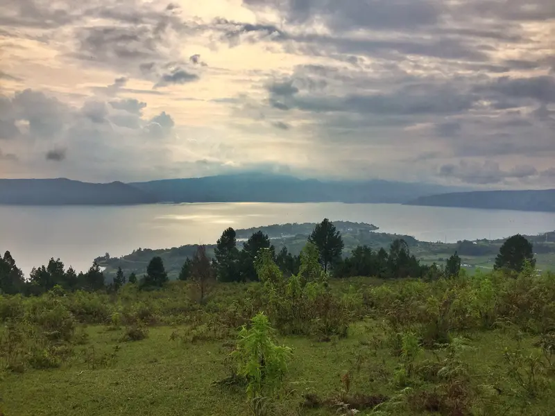
The views of Lake Toba back on ground level are awesome too
The hike isn’t easy and I’d only recommend it to those who actually enjoy hiking and are intermediate-advanced in terms of fitness levels. You could always go partially up the steep incline and see how you get on, but just know it isn’t going to be fun coming back down.
Definitely download the Sumatra section for Maps.me to use offline and to see the trail to help you hike over Lake Toba. The island trail is not well maintained so who knows what kind of condition you’ll find it in.
The hardest part the trail is finding the starting point but hack your way to a point on the Maps.me outline and you’ll be good from there.
We didn’t see anyone else on the steep incline section of the trail and just local families going about their day as we reached the plateau at the top of the island.
Other Indonesia Posts: